Seattle sets 2nd-hottest late October day on record, but ‘Zombie Summer’ is now done
 Scott Sistek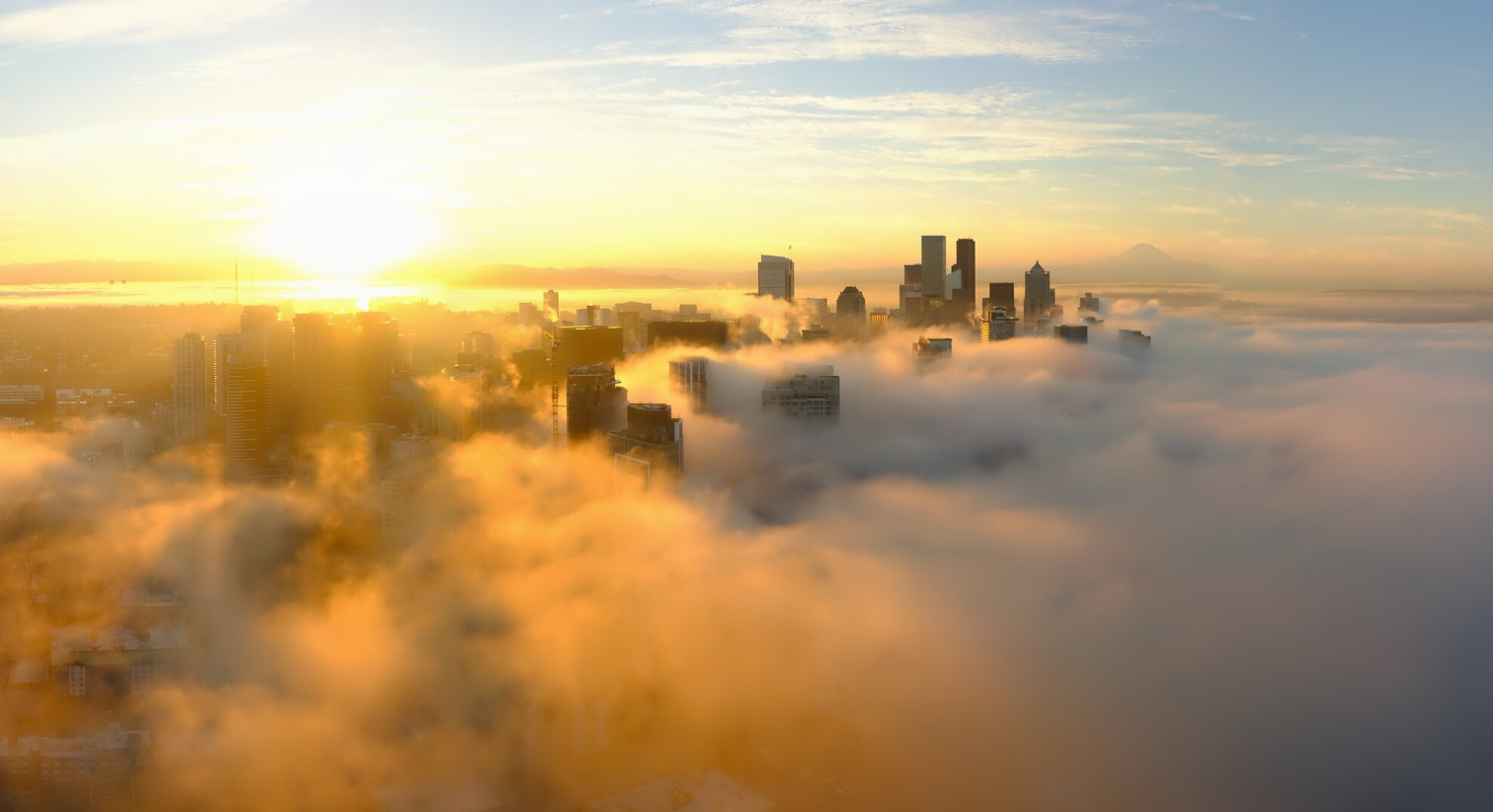
Fog hangs over Downtown Seattle on Oct. 16, 2026. (Photo: Space Needle Web Camera)
Somehow both of these things were true Friday:
- It was one of the hottest late October days in Seattle history…
- It didn’t even set a record high.
Wut?
Seattle reached an absolutely summer-esque 77 degrees on Friday — on par with mid-July’s average. It blew away every other post-October 15 date’s high temperature mark by multiple degrees.
EXCEPT ONE: October 16, 2022. Somehow it hit 88 degrees that day, and there are no superlatives too great to describe how much that shattered heat records by. It broke the RECORD high for October by 16 degrees.
Well, that former 72 degree record high for October 16th is now in a distant third place, as Friday’s 77 would have bested it by an eye-popping 5 degrees. Friday would have now ranked as the hottest post-October 15th date in the record books. Instead, it’s a silver medalist by still a full 11 degrees. Something about October 16th’s this decade…
OK ENOUGH WITH THIS ‘ZOMBIE SUMMER’… WHERE IS MY AUTUMN?
I think we’ve finally — FINALLY — vanquished the heat.
A little “mini front” will come through late Friday night into early Saturday. It will bring an embarrassingly-light amount of rain for what is now late October, with most areas staying under 0.10” except maybe Whatcom County might squeeze out a quarter inch or so. The HRRR hourly model even has a big ol’ zero for Downtown Seattle, thanks to the Olympic Rain Shadow.
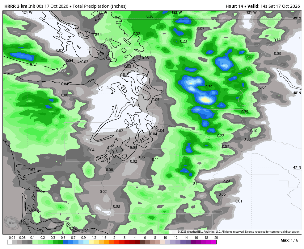
Heck, if you sleep in a bit Saturday and just get to reaching this then, it may already be gone and the rain may already be done. (Caveat: A weak convergence zone might keep a few light showers going in the North Sound into the midday and afternoon.)
But while it won’t impress in the rain gauge, it WILL be the victor that breaks summer. (Hey wait, haven’t we heard this before?)
Highs Saturday will drop back into the low 60s, which according to ancient scrolls, is actually about the average highs for now.
SO, I CAN BRING OUT MY HOODIES AND FLANNEL AGAIN?
Yes.
CAN I IMPRESS THE TOURISTS AND HEAD OUT IN THE RAIN WITHOUT AN UMBRELLA?
Well, even the tourists won’t need umbrellas, so we’ll have to spot them other ways like someone asking where Pike’s Place Market is, or see someone jaywalking.
We’re in a blah pattern for Sunday into the middle of next week. The next storm system in the Pacific at first will look like it’s heading right for us, but is instead going to make a right turn well before it gets to the coast and head south, leaving us dry and seasonably autumn with highs in the upper 50s to low 60s.
The long range models sorta kinda bring a little rain for like maybe Thursday-ish, and again maybe next Saturday or Sunday…ish. But it’s very paltry in strength. Tourists just might think umbrellas aren’t needed ever again.
If you want to peek beyond next week and try to read the tea leaves on the 2 week forecast it’s… also boring. Very benign weather so far with just little splotches of light rain here and there.
Good grief I really hope this is not Super El Nino’s planned fate for this entire winter, though NOAA’s fresh winter outlooks are still very strongly painted in the warm colors around here. But tourist umbrella sales don’t need to suffer too.
MORE TO EXPLORE:
- What is a Kelvin wave? Why Seattle shouldn’t need to worry much about El Niño’s sidekick
- Seattle to ‘chill out’ this weekend as half of autumn weather returns
- Here’s the ‘script’ Super El Niño’s have used for past Seattle winters. Now, toss it out.