West Coast may get ‘Hurricane Hunter’ flights into our atmospheric rivers this week
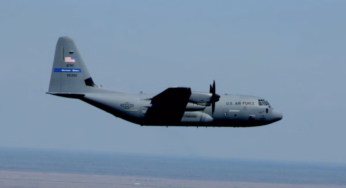
WC-130J "Super Hercules" aircraft. (Photo: U.S. Air Force Reserve)
It’s barely November and it feels like we’re already atmospheric river storm veterans. There’s more on the way this week (and next?) but now we may be getting a forecast assist from NOAA’s and the Air Force Reserve’s Hurricane Hunters, fresh off their harrowing forays into Category 5 Hurricane Melissa in the Caribbean.
A thread of videos from today’s flight into Hurricane Melissa
In this first one we are entering from the southeast just after sunrise and the bright arc on the far northwest eye wall is the light just beginning to make it over the top from behind us. pic.twitter.com/qGdpp7lbCN
— Tropical Cowboy of Danger (@FlynonymousWX) October 27, 2025
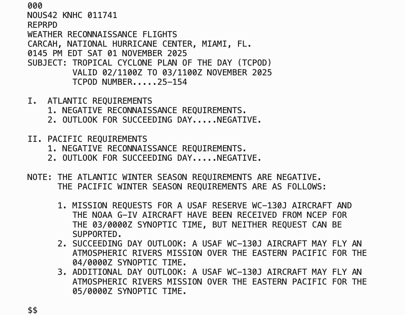
NOAA has requested such flights over the Pacific on Monday, Tuesday and Wednesday for a budding new atmospheric river event.
So far, the Monday request was denied due to unavailable resources, but Tuesday and Wednesday’s requests for the Air Force Reserve’s WC-130J Super Hercules aircraft are still pending. More on how that works in a minute.
WAIT, ‘HURRICANE HUNTERS’ ON THE WEST COAST? FOR ATMOSPHERIC RIVERS?
Yes! But it’s not unusual, nor does it signal a particularly dire storm.
Now that the Atlantic hurricane season is quickly winding down, it’s the West Coast’s turn to take advantage of the hearty aircraft and storm expertises of the research teams and their pilots to go “hunting” some of the West Coast’s most powerful storms.
While there isn’t an “eye wall” to punch through and get dramatic scenes of stadium effects like in a hurricane, atmospheric river storms still carry strong winds and torrential rains fueled by a stream of tropical moisture and an intense jet stream that makes for anything but a smooth flight.
With the hurricane season still on the tail end (officially, it runs through Nov. 30) the Hurricane Hunters are available on “resources permitting status” in the Pacific through December, then usually fully assigned to the Pacific in January and February, according to Scripps Institution of Oceanography.
WHY THE FUSS? ISN’T IT JUST A BIG RAIN STORM?
Atmospheric Rivers can be some of the more impactful storms to strike the West Coast during the autumn and winter. Depending on the strength of the storm, where they aim, and how long they last, they can drop several inches of rain to an area, creating both devastating river flooding as well as flash flooding and mud and landslides.
And sometimes the frontal boundaries and accompanying low pressure centers can create strong wind events, so it’s important to know as much as you can about the budding storms. As you’ve seen, we’ve already had some pretty decent AR’s this autumn with plenty more on the way.
SO WHAT’S WITH THE STORM THEY MIGHT INVESTIGATE THIS WEEK?
The next storm that has triggered the flight request looks like this time will be focusing most of its moisture into southern Oregon and Northern California — though we’ll still get some decent rain out of it.
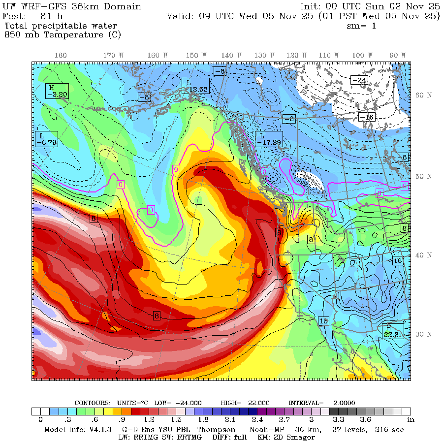
The folks that rate ARs are giving it a Level 4 out of 5 potential for Northern California and southern Oregon, but “only” a level 2 up in Washington. That’s beneficial rain for us. After a relative break in the weather Monday, we’ll see some rain at times later Tuesday into Wednesday but while it’ll be another wet and blustery day, it doesn’t at this point appear to be an impactful storm for us.
There is another atmospheric river lurking later in the week that could be wetter and windier for us. Maybe we’ll get some flights too for that storm.
(Although it is also important to note that during the current government shutdown, none of the hurricane hunter crews are getting paid.)