There’s blue on the map! Chilly weekend storm likely to bring snow to Cascades
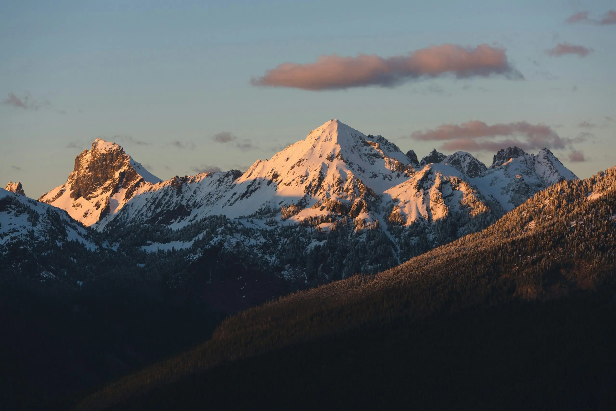
FILE Photo of North Cascades by Erika on Unsplash.
IS THAT ACTUALLY SNOW ON THE MAP!??!
Spoiler Alert: Yes!*
(*— Well, with elevation…)
In a true sense of how fast the changing of the season into autumn happens in the Northwest, Tuesday featured blazing sunshine with a high of 75 in Seattle and pushing 80 in the warmer spots. But yes as you read, there is actually mountain snow in the forecast this weekend.
This is NOT. A. DRILL!
But before we go too far skipping into winter, one last note about our “last day of summer” Tuesday: The National Weather Service in Seattle pointed out a interesting quirk that this decade if you wanted a warm October day, pick October 7.
Now the four warmest October 7ths in Sea-Tac History have all come in the past four years. The record is 79 set in 2023. It reached 77 in 2022, and now 75 in consecutive years.
But this was very likely the last 70+ degree day of the year. The weather pattern is taking one step down the cooling ladder this week, then another big step over the weekend.
First up is a sprawling low pressure center that just slowly spin offshore Wednesday through Friday, peppering us with clouds and occasional showers through the end of the week. Showers will be gaining frequency as we wade over the next three days but nothing too bothersome. Mostly it will just keep it cloudier and cooler with highs in the low 60s.
A colder storm drops out of B.C. over the weekend to replace our first low, and this too will renew the periods of rain over the weekend. Only this time, the air mass will be coldest since spring, knocking snow levels down to 4,000-4,500 feet!!
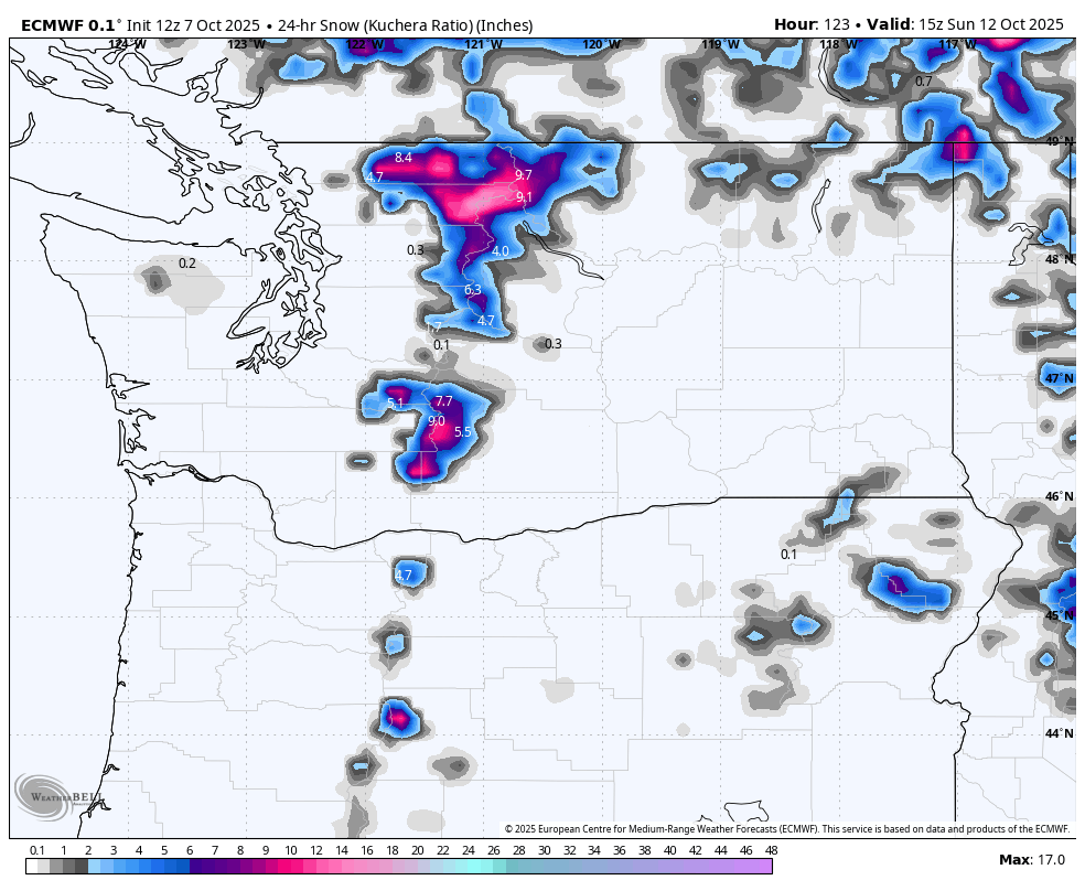
Stevens Pass should be OK (WEDNESDAY UPDATE: Models are increasing odds of a few inches of snow at Stevens Pass up to about 55% Sunday thru Tuesday, still not major amount, but could be first snow), but the North Cascades Highway and White Pass could even see a few inches of snow. But mostly if you have a long weekend coming up and are thinking of heading up for a hike, be prepared for winter chill and possibly snowy conditions in the higher trails. Definitely NOT what it’s been like up there today or really since spring.
We’ll stay cool and showery into early next week with highs in the lowlands only in the 50s. Not quite Emergency Kittens criteria, but certainly Emergency Latte!