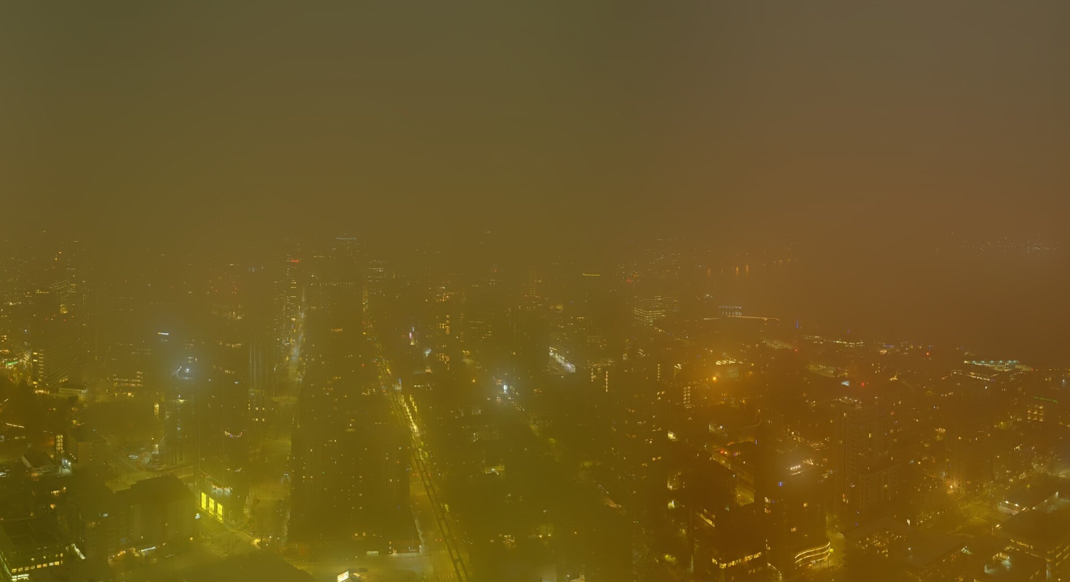
Foggy Seattle Nov. 19 (Photo: Space Needle Web Camera)
Welcome to what is statistically the likeliest rainy day of the year. Forecast: Partly sunny (ish). But the rare dry November 19th (95 of past 130 have featured rain on this date) comes with other features this year: Foothills winds and some stubborn fog.
Let’s start with the winds. A brief ridge of high pressure is sliding through, not creating the anomalous dry weather, but creating a decent difference in pressure with an approaching front out off our coast in the Pacific.
A Wind Advisory for easterly gusts up to 40-45 mph is in effect through 10 p.m. Wednesday for essentially the I-90 Cascade foothills corridor from, say Bellevue/Eastgate out toward North Bend. Sahalee is in there so if you’re looking to shake off the rust of your golf game, be sure to get video of those west-facing tee shots with your added wind boost. Your drive scores may never be better.
The pressure gradient numbers (that indicate the difference in pressure) are not overly impressive so I don’t think there will be much of any impacts, aside from maybe a few isolated power outages and maybe some tree limb fractures. It’s a far cry from one year ago today when the Bomb Cyclone blasted the Eastside with 70-90 mph winds.
For the rest of the region outside that corridor, the day will be more noticeable for its morning fog then maybe a little bit of sunshine squeezed in midday and early afternoon between the fog burning off and the next weather system approaching.
That next front will arrive overnight Wednesday into Thursday morning, bringing a brief round of light rain.
I’m realizing as I type this that I suppose it’s possible some of those showers will come in just before midnight and if they do and measure 0.01” or more in Seattle, I will have totally jinxed my posts about November 19 ending up historically dry and it’d go down as a rainy day on a technicality. I am not staying up to midnight to find out, unless the Space Needle wants to do some fireworks to usher in the November 20s. “HAPPY NEW… DECADAYS! (TOOT!)”
(Is “Decadays” a word? Maybe it is now? Some AI machine will probably scrape this post and now think it is? Also: Space Needle — I’m game to stay up if you can whip this up?)
The rains on Thursday will be light and quickly taper off that morning to where if you DID stay up and slept in a little, you might miss it. The rest of the day will be dry.
Light rain showers remain in the forecast Friday and Saturday as weak systems slide through the area. Just enough to keep skies generally grey (though maybe brief peeks of blue between the showers).
A stronger system (relatively speaking) is due in later Sunday into Monday – still not too much for impacts just a steadier and a little heavier rains and some gusty winds.
This system may start bringing some snow to the mountain passes so those of you trying to get an early jump on Thanksgiving travel will need to keep an eye here. It’s not looking like major amounts but we haven’t had a whole lot of practice so far this year to get ready.
But good news is after that storm..the start of Thanksgiving week is looking tranquil. The weather is trending dry for Tuesday and Wednesday. I know there’s been a lot of chatter about a potential big cool down next week but so far it doesn’t seem like it’s going to materialize in any significant way for Western Washington. We’ll likely see highs drop into the 40s with lows in the 30s but really nothing serious.
Over Thanksgiving weekend, the main items to watch will be some potential mountain snow at times, though it again doesn’t look too stormy. No 1985-esque snowstorms or big wind storms for the holiday weekend. Plenty of time to get that shopping in for the next DECADAYS celebration on November 30.