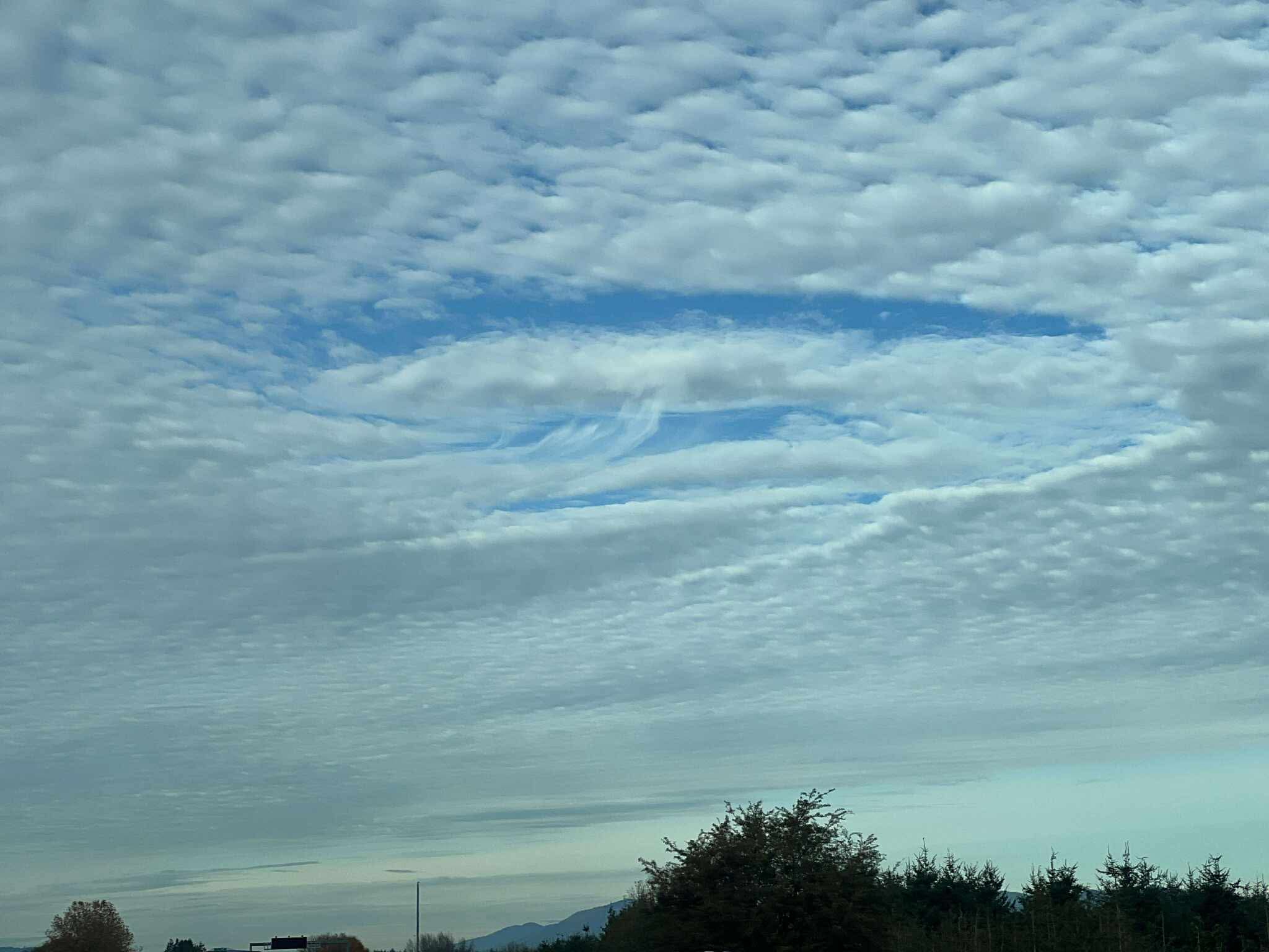
Fallstreak cloud over Marysville on Nov. 8, 2025. (Photo: Peter Mongillo)
Check out the “rip” in the clouds over the North Sound Saturday afternoon.
Peter Mongillo snapped this photo from Marysville.
What causes it? It appears to be a “hole punch” cloud or “fall streak” cloud — typically created when a plane ascends or descends through a specific type of cloud layer.
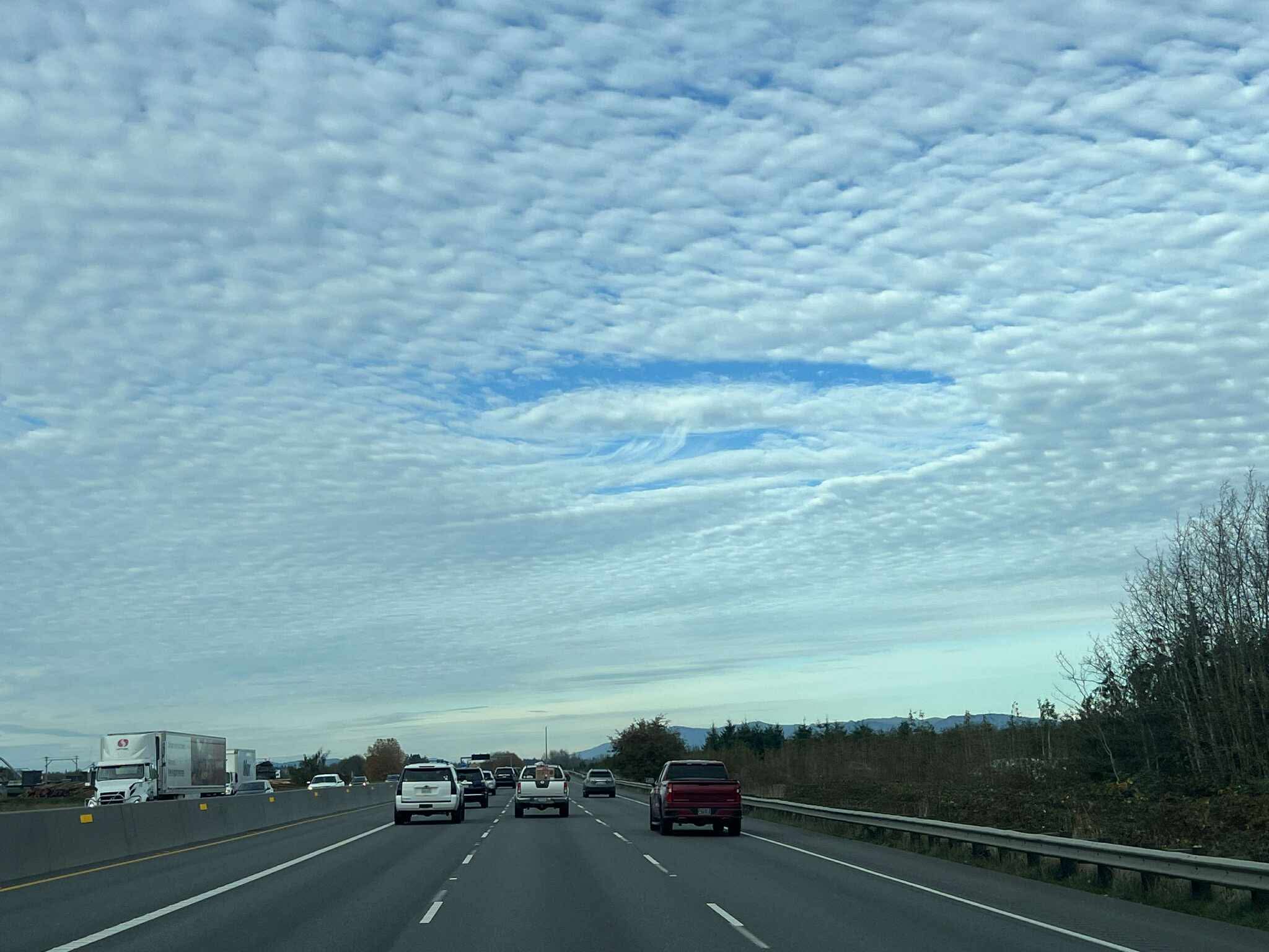
“When an aircraft passes through these types of clouds, the air around its wings and body expands and cools, a process known as adiabatic cooling,” according to NOAA. “This can trigger the droplets to turn into tiny ice crystals. As they quickly grow and absorb nearby water droplets, they become heavier and begin to fall, leaving a hole behind, which will start to expand outward as surrounding droplets start to freeze as well.”