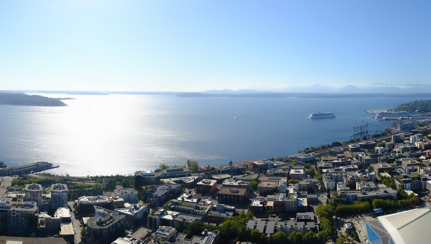
Sunny Seattle day on Sept. 15, 2025. (Photo courtesy: Seattle Space Needle Web Camera)
Every September or October there is one day you can point to where it’s like we get one last warm day before the door on summer slams shut and autumn begins to make itself comfortable on the throne.
In 2025, that date appears to be September 16*.
(Hey, there’s that sneaky asterisk again 🤨)
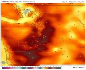
We’ve already had the quick turnaround from Sunday’s’ showers to Monday’s sunshine as high pressure builds in, but a thermal trough is heading our way for Tuesday, set to give us a boost of warming, east winds.
But while I named that pesky low pressure center earlier this month “Bob”, I should name this thermal trough “Bon Marche” because like their old sales ad jingle, this is thermal trough is just a one DAY-OH. (I will not, however on second thought, use its name as an acronym…)
Still, what a day coming up for summer fans grasping for the last morsels of warm weather before the gray starts organizing the moving trucks for its months-long residence. Tuesday will feature sunny skies through the day** with highs reaching well into the 80s.
(DOUBLE ASTERISK? 🤨🤨)
[** – there may be some localized smoke/haze as we get those east winds as it could blow over some smoke from the fires in Central and Eastern Washington.]
(OK SO THAT COVERS THE DOUBLE ASTERISK… YOU STILL OWE US A SINGLE ASTERISK EXPLAINER…)
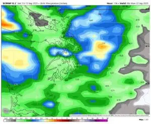
But just as the heat spiked on Tuesday, it fades just as quick on Wednesday as a weak trough of low pressure sweeps in and pushes that thermal trough away, nixing the east wind, and bringing a few clouds and much cooler temperatures. (Looks too weak to bring any precipitation though.)
While the rest of this week is still looking pleasant — back into the upper 60s to mid 70s and still sunshine at times — a larger pattern change begins to form this weekend. We’re still in “preseason” autumn mode but this front looks a bit more organized than the one this past weekend, and the chances for steadier, more accumulating rain are higher, especially Sunday.
Next week’s forecast is peppered with scattered showers at this point — too early for specifics, but certainly doesn’t look like sunny and upper 70s+.
HEY YOU STILL OWE US THAT FIRST ASTERISK EXPLAINED
Oops! Here ya go: * While Seattle’s typical September to October pattern is rapid switch from summer to fall and chances of more 80 degree days decrease rapidly and odds are good Tuesday will be it, it doesn’t mean there is NO chance we can’t sneak in an anomalous warm day later. Just three years ago, we somehow hit 88 degrees on October 16.
Seattle’s latest 90 degree day on record is Sept. 22; our latest 80 degree day is that October 16th day. In another stat of how weird that day was, the *record* high for October 20 is currently 69.