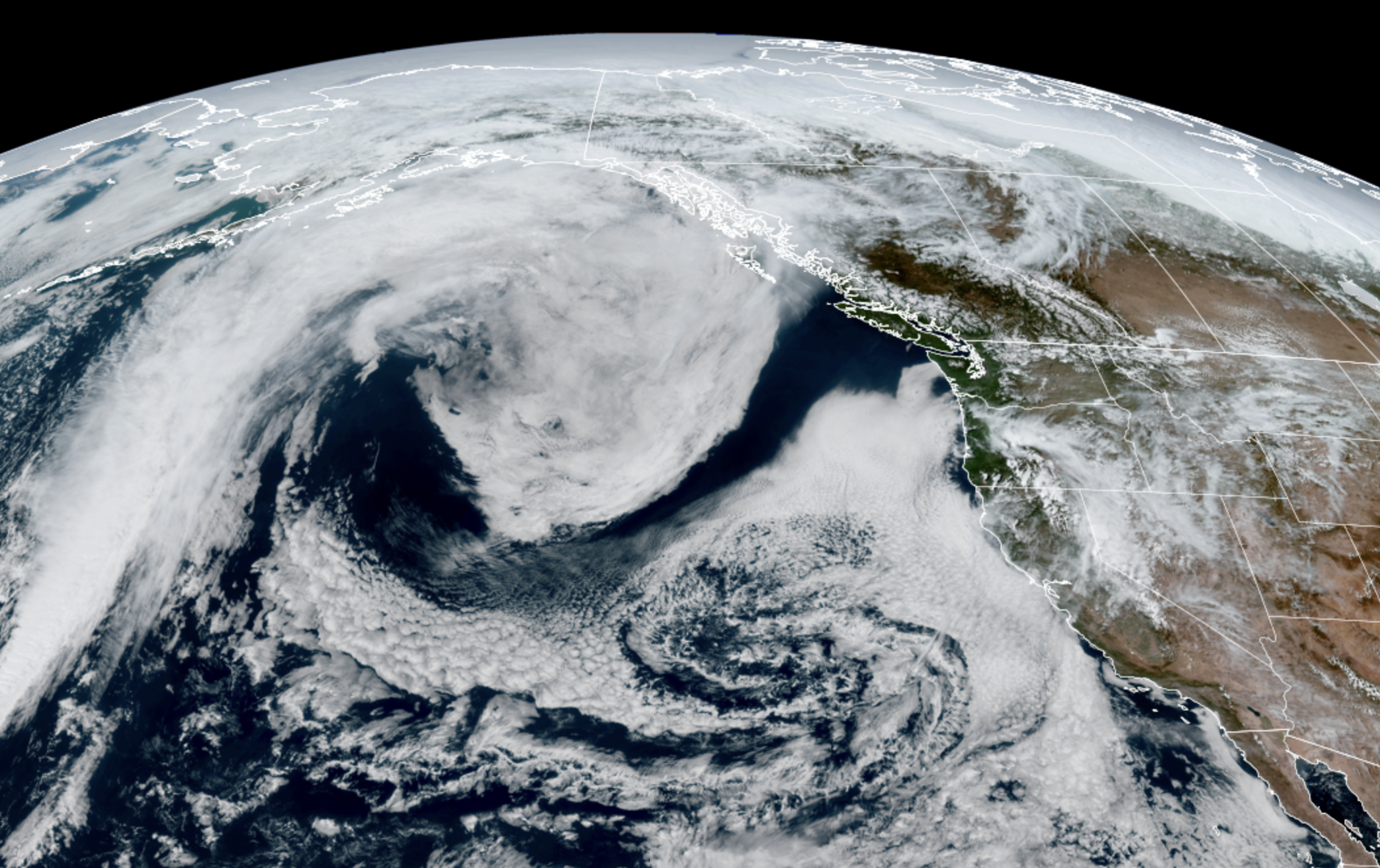
GOES-18 satellite image from May 2 showing... I dunno an inverse Bass Clef or something? (NOAA / CIRA / RAAM-B)
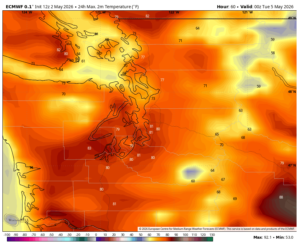
The heat, such as it is for May, is on. We’ve got two days coming up Sunday and Monday that will be the hottest of the year so far for Seattle and the Puget Sound area. Dare we say, it’s “record” heat?
But a quirk of the record books may make it seem more anomalous than it actually is. Because these two things are somehow, paradoxically true:
1- Seattle is indeed going to break a record high on Sunday.
2 -It’s not *really* record heat.
What?
The record high for Sunday in Seattle currently stands at 77 degrees, set in 1992. The forecast high is now 80-81 (Yes! 80s! Seems everyone now is comfortable in busting the “Rule of 9” from my last post and have warmed the expected highs over the 80s threshold from 79.)
Seems straightforward though: An 81 degree high would break a record of 77 (by a lot!) — it’s not just record heat even, it’s record-SMASHING HEAT!*
WOW! YOU SHOULD GO BACK AND CHANGE YOUR HEADLINE TO HYPE IT MORE AND… HEY, WHY DID YOU STICK THAT ASTERISK THERE?
Because the record for May 3rd is… wimpy. Through some quirk of the past 80+ years of records at Sea-Tac Airport, it has managed to just not be as hot on this date — and this date only — as the upper end of the climate range would suggest.
May 3 is currently the only May date with a record high still in the 70s. The next “coldest” record high is 82 on May 7. The previous record high in the 70s was back on April 25.
The average record high temperature from the week before and after May 3rd is 84 degrees.
So under “normal” circumstances, we should be coming up a little short of record heat. That is the case on Monday which has a similarly forecast 81 high but is well short of the record of 85 on that date.
But either way, pretty toasty for early May.
RECORD BREAKING OR NOT, I’M HOT. WHEN WILL THIS END?!?
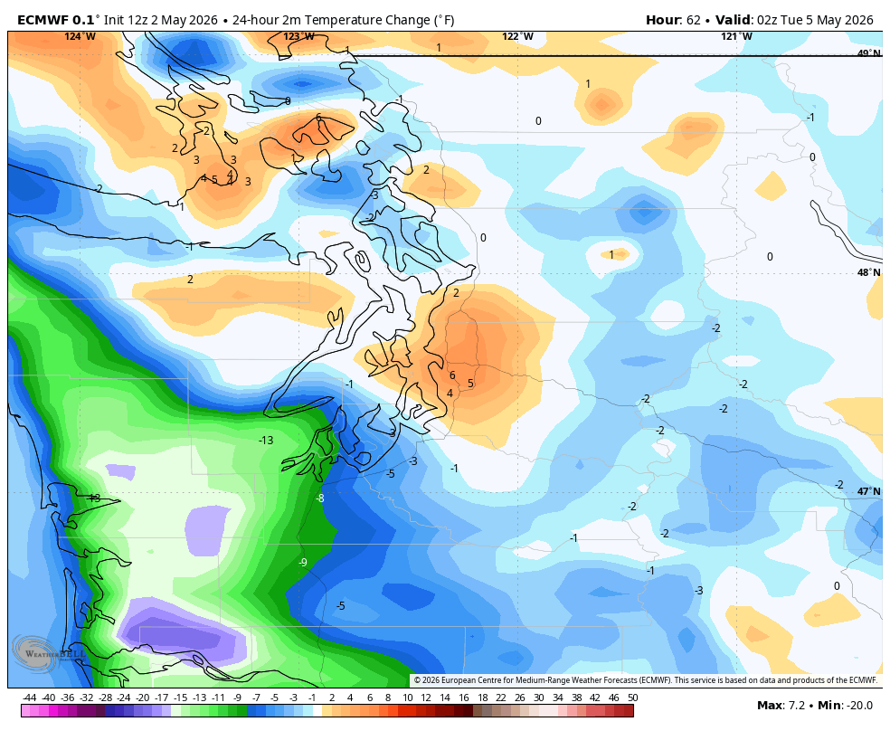
Good news for those not ready yet for the 80s this early: It’s only a two-day event. We’ll cool back into the more comfy 70s for the rest of the week, with maybe even a marine-layer-induced dip into the 60s on Friday.
I think we have misplaced the jet stream though. There is still no rain in the forecast for at least the next week.
Also of note: Sunday is (was?) the last record high in the 70s until October 4th. We’ll now stretch the “last only 70s record” back to April 25th.