Strong thunderstorms bring rare ‘shelf clouds’ to Seattle area
 Scott Sistek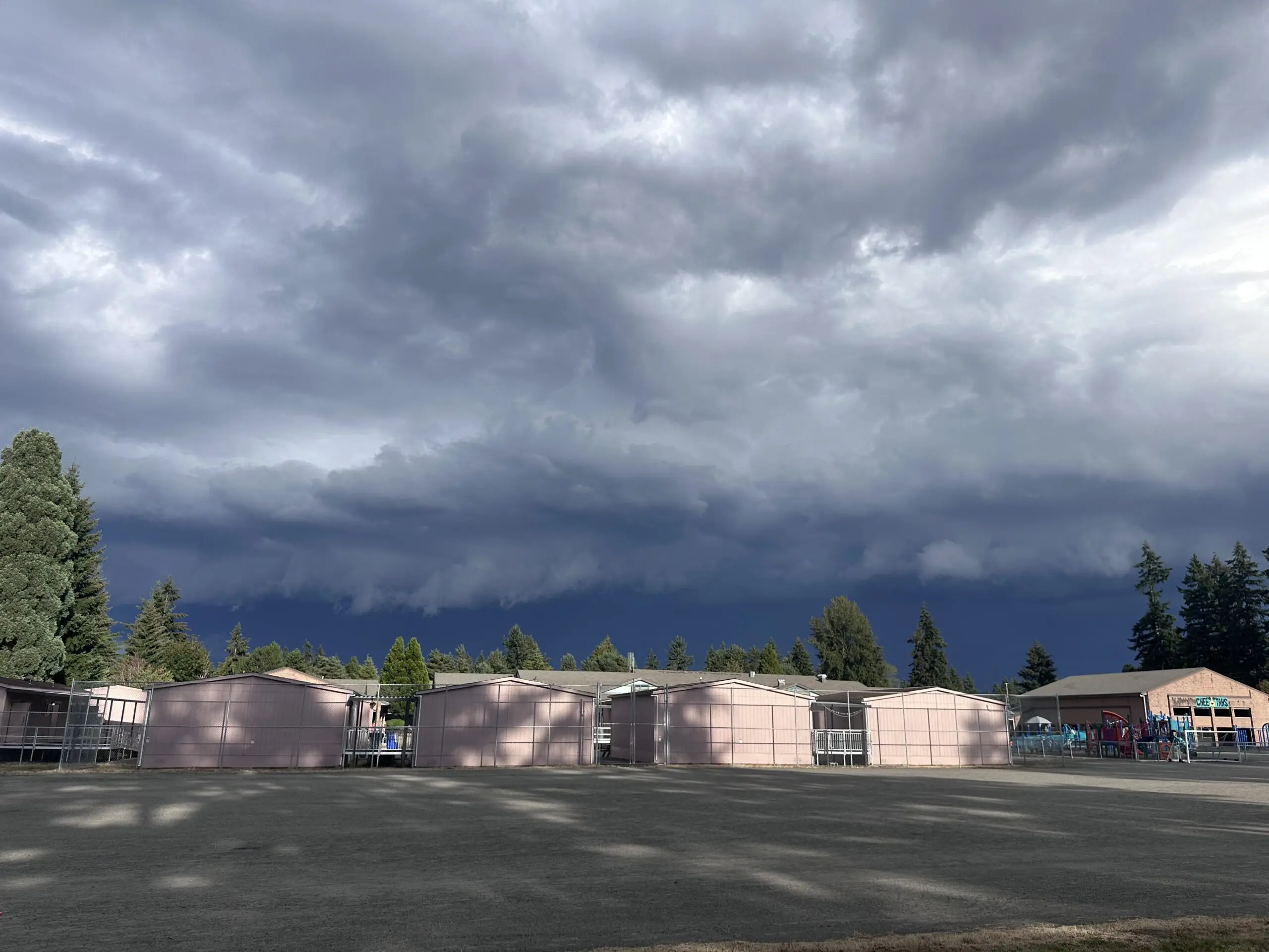
Shelf cloud extends from strong thunderstorm in Bothell, Snohomish County on Sept. 4, 2026. (Brie Hawkins / Little Bear Creek Weather)
WOW! These are clouds you don’t really get to see very often around the Seattle area!
A strong thunderstorm developed near the King/Snohomish County line Friday evening, courtesy of very unstable air mass brought about by a low pressure center swirling just off the coast.
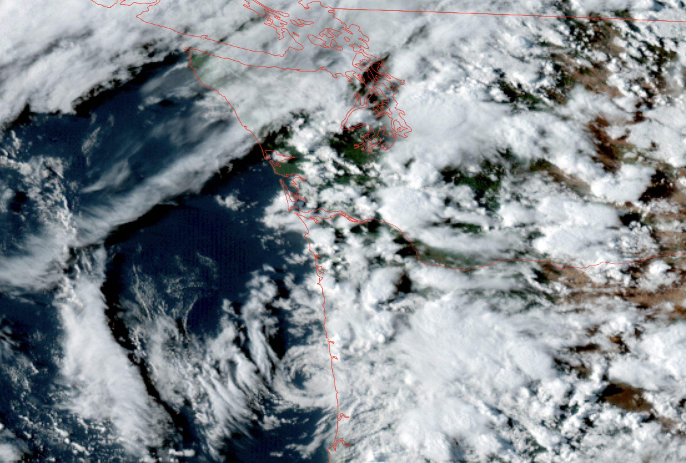
What you’re seeing on these photos from Brie Hawkins at Little Bear Creek Weather is a shelf cloud.
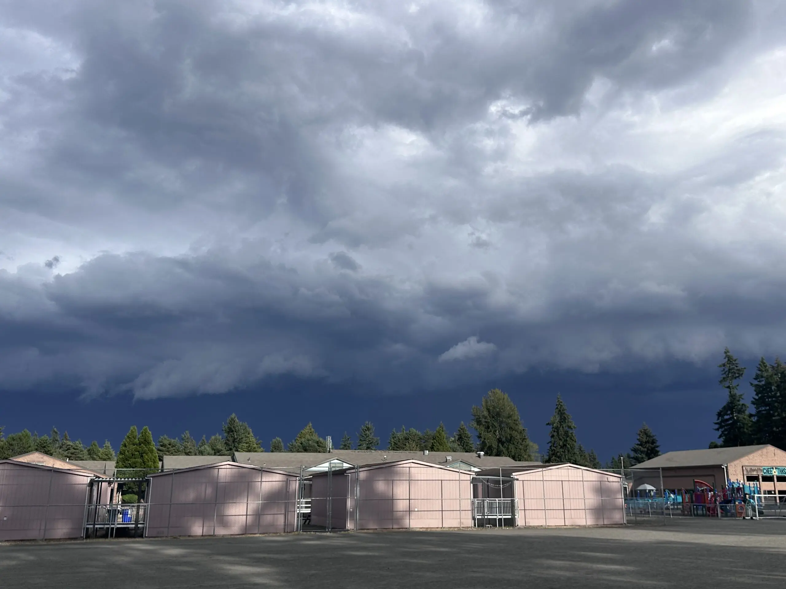
Those are products of strong thunderstorms where the heavy rain and hail create cold downdrafts that push a cloud line out ahead of the storm — sort of like a cloud-generated mini-cold front.
When those shelf clouds pass though, you’ll feel a sudden burst of wind followed shortly thereafter with heavy rain and hail (and lightning).
For this cell, the National Weather Service warned the storm could bring sudden 30-35 mph wind gusts and up to *1/2-inch hail* — which is very rare to see hail that size in Western Washington. And of course, it’d bring heavy rain and occasional to frequent lightning.
The cell was moving northwest toward the I-5 corridor in southwestern and western Snohomish County just in time for the Friday evening commute.
This story will be updated.