Looong dry stretch continues into next week making for unusual weather maps
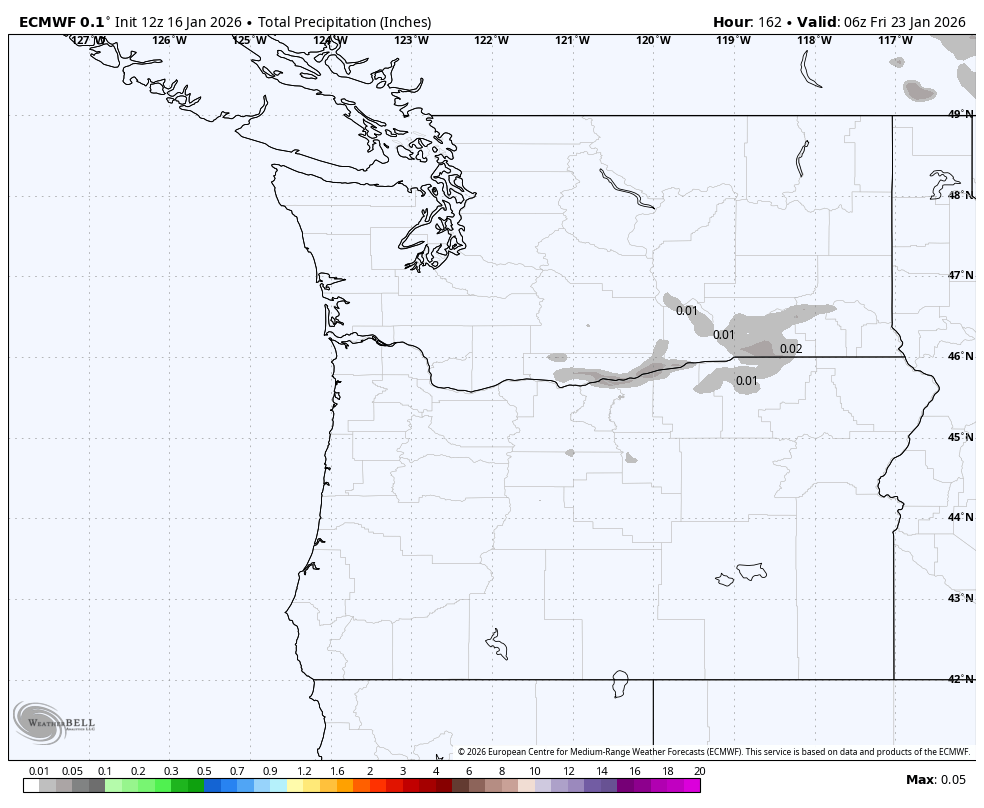
Accumulated rain forecast through Jan. 22
You know the weather pattern is quiet when the entire 7-day National Weather Service Seattle weather forecast discussion was just 144 words.
But I can do it in just two: BO-RING
MegaRidge is firmly in place, anchored across the entire West Coast and making for some really eye-popping weather charts, especially for mid-January.
The big “red blob” chart below is officially atmospheric height anomaly (am I the only person who can never EVER spell “anomaly” or “anomalies” correctly on the first attempt… and not even be close?) but it’s essentially a cheat sheet to see the large, intense ridge of high pressure, but in imposing red colors.

The other, less imposing graphic at the top of this page looks like a simple nearly blank map of the Pacific Northwest. I could be plotting the number of alligators, Dunkin Donuts, or turnpikes per square mile. But NO, this is a map of predicted accumulated rainfall from now through next Friday.*
(* OKAY so before you see the small gray splotches and start worrying there are suddenly 0.01 alligators around the Tri-Cities, or, even more weird, a fraction of a Dunkin Donuts (we sell just one donut hole per year, folks!) the forecast model is picking up some drizzle from the dense fog layers over there.)
Suffice to say, the forecast for the next several days calls for morning “BO-“ and then afternoon “-RING.”
Officially, it’s just mostly sunny days with mostly clear nights. With a little bit of drying east wind this weekend (not strong, just a moderate breeze) it’ll even limit our fog potential to just a few patchy spots during the morning with highs around 50. The Seahawks game will be clear with little wind — about as close as you can get to “dome” conditions outdoors in Seattle in mid-January.
The only change for next week is that the east wind will abate once we get into Monday and that will allow more in the way of nighttime and morning fog to return but still sunny once it burns off. Highs will be in the upper 40s to low 50s with lows in the 30s.
It does look like MegaRidge will finally break down, or at least get far enough away from us for any influence, by the end of next week. Long range models are thinking next Friday or Saturday we’ll finally get the return of some rain. Doesn’t look like a whole lotta rain yet, but at least the forecast maps will have some color back on them.
(Unless it’s an alligator invasion… Now THAT would be quite the amonol…aonamloy… anommoli… ugh… “strange thing.”)
The weather might be a bit dull right now, but it is certainly very nice! I will happily take it.