Summer decided it was NOT going to go down without a fight. And what a punch it was!
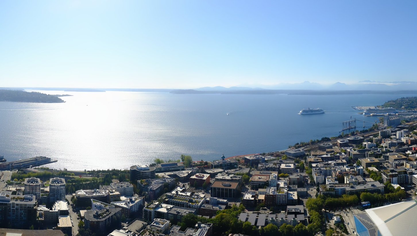
Many areas across Seattle and the I-5 corridor reached 90 degrees Tuesday. Seattle’s preliminary high is 91 which is shockingly only tying the record high for the day. But don’t let that cloud the idea that this isn’t rare.
In fact, this is only the third time in Seattle (Sea-Tac) history that we’ve hit 90 degrees after Sept. 15. The other time was this date in 1967 (our record tie) and Sept. 22, 1990 when it reached 92.*
(*- there have been 3 dates since that reached 89, including October 1, 1987)
Tuesday was also the 8th day this year to reach at least 90 degrees, tying 2021 for 5th-most on record. It will probably to surprise you to know three of the four years ahead of us are all from 2015 or later.
HANG IN THERE, RAIN FANS
But the thermal trough that brought the one-day blow torch is getting dragged away kicking and screaming, taking the peak summer with it. Wednesday will be much cooler — but actually still quite pleasant with highs the mid 70s.
It’s the start of a cooling trend though, culminating with rain at times later Saturday and into Sunday.
While early next week looks like we’ll squeeze out a few more dry days again, the long range pattern is trending more autumn-esque with better chances of more widespread and longer rain events as we get into the end of next week.