Watch: Towering ‘anvil’ cloud stretches dozens of miles… and spans two countries!
 Scott Sistek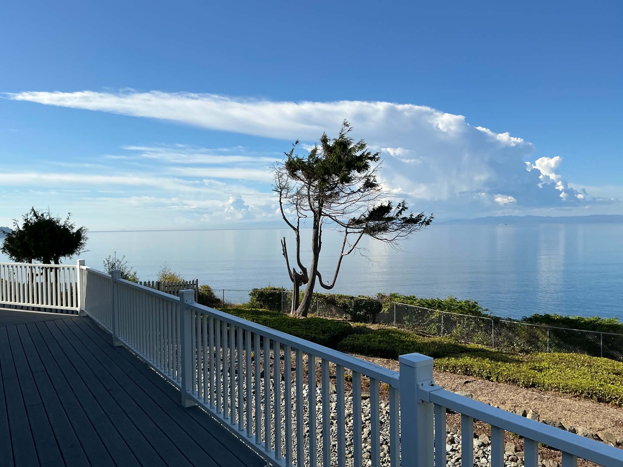
Thunderstorm over Vancouver Island on Sept. 5, 2026. (Photo: Karen Sistek)
Day two of our afternoon thunderstorm pattern around the Pacific Northwest put on a show that in one instance, spanned two nations!
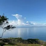
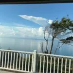
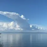
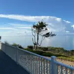
My parents first spotted first a series of towering cumulonimbus clouds that formed over southern Vancouver Island Saturday afternoon from her perch across the water in Port Angeles.
But soon enough, strong upper level winds began to shear off the top of the cloud, stretching an anvil to the south that spanned several miles.
In fact, the cloud seemed to stretch all the way across the Strait of Juan de Fuca and reached the American side of the water along the Olympic Peninsula.
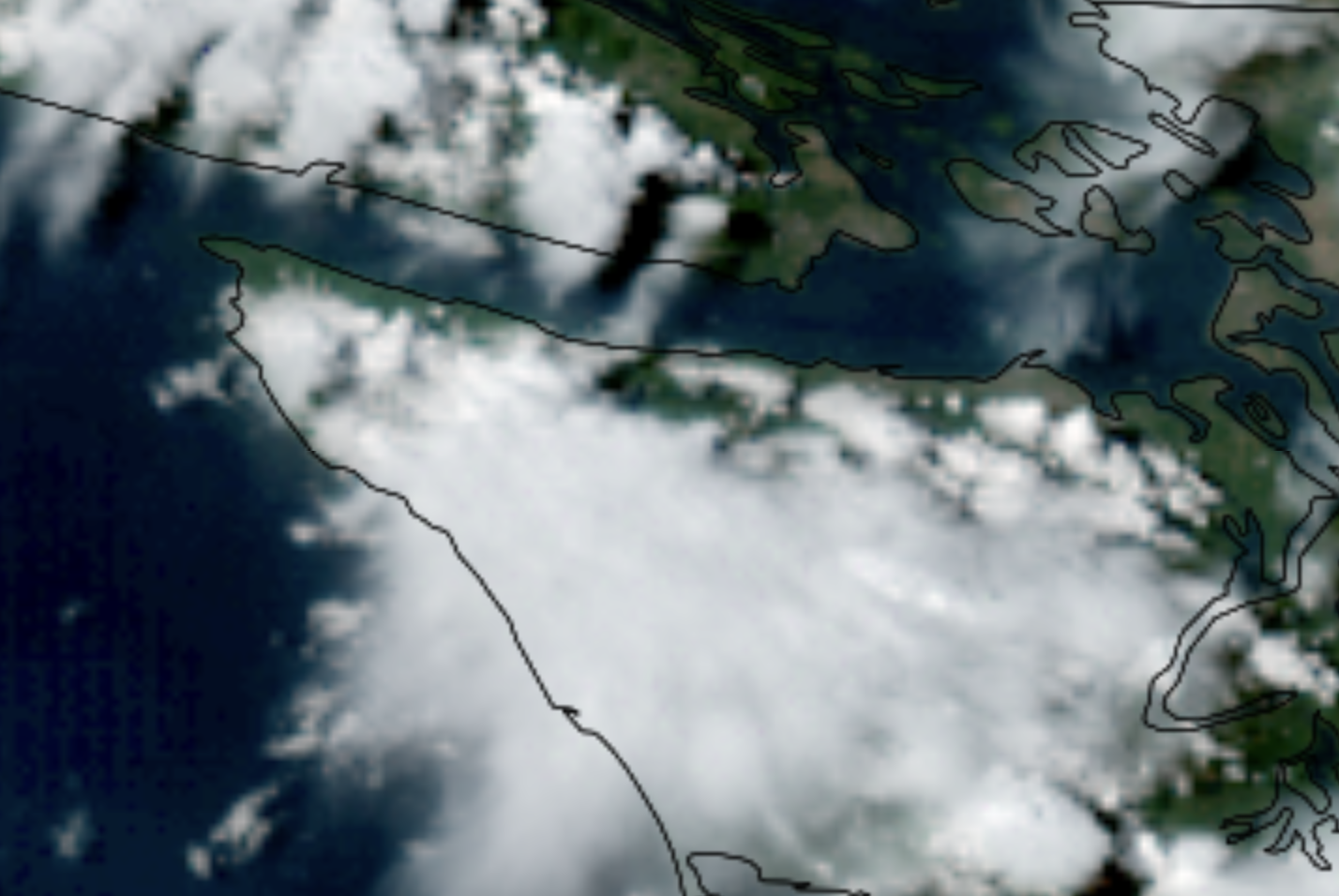
Looking at the satellite image of the storm, I’d approximate the storm’s anvil stretched about 30 miles.
Anvils occur when updrafts inside developing thunderstorms reach the altitude where the air is no longer buoyant (or, warmer than the surrounding air). This layer acts like a lid, or think of like an invisible glass wall. The clouds then “smush” up against this “wall” while upper level winds then carry the clouds away along this barrier, stretching them out into the appearance of an anvil.
A 30-mile long anvil seems pretty rare for around here, but on some of the more intense severe thunderstorms like this in Tornado Alley, anvils can stretch up to a few hundred miles across!